There are road trips, and then there are map-ending pilgrimages. Overlanding to the Arctic Ocean sits in that second category. It is the kind of journey that sounds half impossible when you say it out loud: drive north through Alaska, cross the Arctic Circle, climb over the Brooks Range, roll across endless tundra, and eventually reach the cold, gray edge of the continent.
For many overlanders, the dream has a specific name attached to it: Point Barrow, near Utqiaġvik, Alaska, the northernmost community in the United States. It sounds like the ultimate prize, the final muddy badge on the tailgate. But here is the important truth: you cannot overland by public road all the way to Point Barrow or Utqiaġvik. Utqiaġvik is not connected to Alaska’s highway system and is accessible to visitors by plane, not by road.
That does not mean the dream is dead. It just means the route has a plot twist.
The realistic overland route to the Arctic Ocean in Alaska is the Dalton Highway, also known as the Haul Road, which runs north from near Livengood to Deadhorse, near Prudhoe Bay. The Dalton Highway is 414 miles long and crosses some of the most remote public-road terrain in North America, including boreal forest, the Yukon River, the Arctic Circle, Atigun Pass, the Brooks Range, and the Arctic coastal plain.
If you want to overland to the Arctic, this is the route. If you want to stand at Point Barrow, you will need to fly to Utqiaġvik and arrange local access or a tour. If you want to touch the Arctic Ocean from the road system, you will need to drive to Deadhorse and join an authorized Arctic Ocean tour, because public road access ends before the water. The Bureau of Land Management’s Dalton Highway guide states that public access ends at Deadhorse, about 8 miles from the ocean, with security gates on the road beyond.
So, can you overland to the Arctic Ocean? Yes.
Can you drive your rig to Point Barrow as a normal public-road overland trip? No.
Can you still build one of the most memorable adventure routes in North America? Absolutely. Bring tires, patience, and a healthy respect for weather that has never heard of your itinerary.
Understanding Point Barrow vs. Prudhoe Bay vs. Deadhorse
Before planning the trip, it helps to untangle the geography.
Point Barrow is the northernmost point of the United States, located near Utqiaġvik, formerly known as Barrow. It is a true edge-of-the-continent destination, but it is not connected by road to Fairbanks, Anchorage, Deadhorse, or the rest of Alaska’s highway system.
Utqiaġvik is the northernmost city in the United States. It is home to Iñupiat culture, Arctic coastal landscapes, polar night, midnight sun, and weather that can make your eyelashes reconsider their career choices. Visitors typically arrive by air from Anchorage or Fairbanks. Travel Alaska notes clearly that Utqiaġvik is not accessible by road and that the only way to get there is by plane.
Deadhorse is the industrial service town near Prudhoe Bay at the northern end of the Dalton Highway. This is where overlanders driving the Dalton Highway usually end their road journey.
Prudhoe Bay is the oil field area near the Arctic Ocean. It is heavily controlled and industrial, which is why you cannot simply drive through to the water on your own.
For most overlanders, the practical goal is: drive the Dalton Highway to Deadhorse, then take an authorized tour to the Arctic Ocean. If Point Barrow itself is part of the bucket list, treat it as a separate fly-in extension from Fairbanks or Anchorage.
The Main Overland Route: Fairbanks to Deadhorse on the Dalton Highway
Most Arctic overland trips begin in Fairbanks, the last major resupply point before heading north. From Fairbanks, you drive north on the Elliott Highway toward Livengood, then join the Dalton Highway.
The Dalton Highway begins around 80 miles north of Fairbanks and continues 414 miles to Deadhorse. It was built as an industrial supply road for the Trans-Alaska Pipeline and Prudhoe Bay oil operations, and it still functions that way today. This is not a scenic byway wearing hiking sandals. It is a working road, ruled by truck traffic, weather, gravel, mud, frost heaves, and long distances between services.
The major sections include:
Fairbanks to Livengood
This is your final chance to behave like a civilized person. Fuel up, inspect the vehicle, grab food, top off water, check weather, and make peace with the fact that “quick stop” is about to become a rare phrase.
Livengood to Yukon River
Once on the Dalton, the landscape quickly feels remote. The road alternates between pavement and gravel. Expect dust in dry weather and slick mud when wet.
Yukon River to Arctic Circle
This stretch brings you to one of the iconic stops: the Arctic Circle sign. It is a classic photo spot and a psychological gateway. You are not at the ocean yet, but your map has officially started wearing a parka.
Arctic Circle to Coldfoot
Coldfoot is one of the most important service stops on the route. Fuel, food, lodging, and basic support are available here. Do not skip fuel because “the gauge looks fine.” That kind of optimism belongs in beach towns, not the Brooks Range.
Coldfoot to Atigun Pass
This is one of the most dramatic sections of the Dalton Highway. You pass into the Brooks Range and climb toward Atigun Pass, one of the highest highway passes in Alaska. Alaska DOT describes the Dalton route as crossing the 4,800-foot Atigun Pass in the Brooks Range before dropping into the Arctic foothills and coastal plain.
Atigun Pass to Deadhorse
The land opens into tundra, sky, wind, and distance. The scale changes. Trees disappear. The horizon gets weirdly hypnotic. Eventually, you reach Deadhorse, the end of the public overland route.
Can You Touch the Arctic Ocean at Deadhorse?
Yes, but not by simply driving to the beach.
At Deadhorse, public access to the Arctic Ocean is restricted because the surrounding area is part of the Prudhoe Bay oil field. The BLM’s Dalton Highway Visitor Guide says there is no public access to the Arctic Ocean from Deadhorse unless you are on an authorized tour. Another BLM guide states that public access ends at Deadhorse, about 8 miles from the ocean, with security gates blocking the route beyond.
The usual option is to book an Arctic Ocean shuttle or oilfield tour in advance. These tours typically require identification and advance registration because they pass through controlled industrial areas. Details can change, so overlanders should confirm requirements before leaving Fairbanks. Showing up at the end of the Dalton and assuming you can wing it is a good way to have a very expensive staring contest with a security gate.
For many travelers, the tour is worth it. You get the symbolic finale: standing at the Arctic Ocean after days of gravel, mosquitoes, weather, and truck-swirled dust. It is not the wild open beach fantasy some people imagine, but it is still the northern edge of the road-connected American continent.
Can You Drive to Point Barrow?
For normal overland travel, no.
Point Barrow is near Utqiaġvik, and Utqiaġvik is not connected to Alaska’s road system. Travel Alaska says the only way to reach Utqiaġvik is by plane. There have been specialized winter ice-road or sea-ice expeditions between Prudhoe Bay and Utqiaġvik, but those are not standard public overlanding routes. They require extreme conditions, local knowledge, specialized vehicles, permissions, and timing. Treat those stories as expedition-grade exceptions, not trip-planning advice.
Once in Utqiaġvik, visitors may be able to arrange local tours toward Point Barrow. Alaska.org describes a full-day trek to Point Barrow, the northernmost point in the United States and the site of the old village of Nuvuk. There are also local tour operators in Utqiaġvik that advertise trips to Point Barrow, including off-road tours from town.
If your goal is to say, “I reached Point Barrow,” plan it as a fly-in Arctic extension, not as a continuation of the Dalton Highway.
A smart itinerary might look like this:
Drive from Fairbanks to Deadhorse via the Dalton Highway.
Take an authorized Arctic Ocean tour at Prudhoe Bay.
Return to Fairbanks.
Fly to Utqiaġvik.
Arrange a local Point Barrow tour or guided outing.
That gives you both achievements: the overland route to the Arctic Ocean and the northernmost community experience.
Best Time of Year for an Arctic Overland Trip
Most recreational overlanders drive the Dalton Highway in summer, typically between June and early September. This gives you the best balance of passable roads, long daylight, available services, and less extreme temperatures.
Summer comes with its own little goblins: mosquitoes, construction delays, dust, mud, and rapidly changing weather. But compared with winter travel, summer is the sensible option for most travelers.
June offers endless daylight and the thrill of the midnight sun. Snow can still linger in places, and road conditions may vary.
July is popular because services are generally active, temperatures are more forgiving, and the route is more approachable. Mosquitoes may also be active enough to form their own tiny government.
August can be excellent, with cooler temperatures and fewer bugs, but weather begins to shift.
September brings fall color in some regions, colder nights, and increased risk of snow or ice, especially around Atigun Pass.
Winter Dalton travel is possible but serious. Darkness, extreme cold, ice, wind, and service limitations can turn a mechanical issue into a survival problem. Unless you are highly experienced with Arctic winter travel, winter is not the season for a casual overland run.
Vehicle Preparation for the Dalton Highway
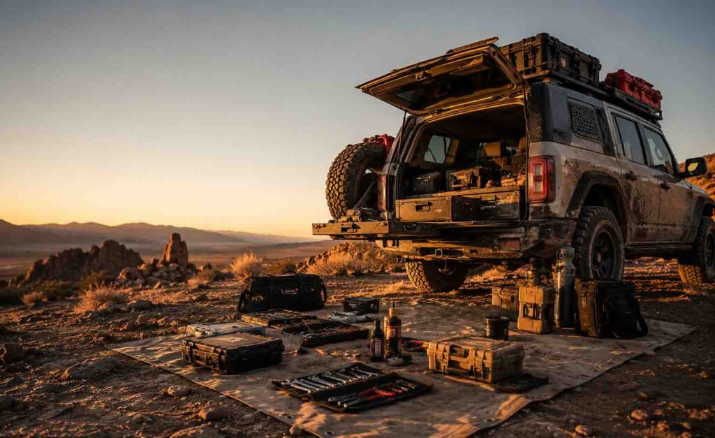
You do not need a monster truck to drive the Dalton Highway in summer, but you do need a well-prepared vehicle and a realistic mindset. This road eats weak tires for breakfast and flosses with optimism.
Key vehicle prep includes:
All-terrain tires in excellent condition
Sharp gravel can cause flats. Many experienced Dalton travelers carry at least one full-size spare, and some carry two.
Tire repair kit and compressor
Plugs, patches, valve stems, gauge, and an air compressor are must-have items.
Extra fuel range
Fuel is available at key stops like Yukon River, Coldfoot, and Deadhorse, but distances are long and availability should never be taken for granted. Top off whenever you can.
Windshield protection mindset
Flying rocks are common, especially when passing trucks. Slow down, give space, and expect chips.
Basic recovery gear
Even though this is a road trip rather than technical rock crawling, mud, shoulders, and remote pullouts can cause problems. Bring traction boards, shovel, tow strap, gloves, and a proper jack setup.
Fluids and spare parts
Carry oil, coolant, washer fluid, belts if applicable, fuses, and tools suited to your vehicle.
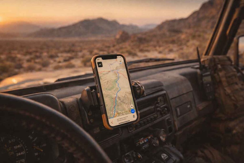
Communication backup
Cell coverage is limited or nonexistent for long stretches. A satellite communicator is strongly recommended.
Lighting and visibility
Dust, fog, rain, and low-contrast conditions can make visibility poor. Make sure your lights are working and clean.
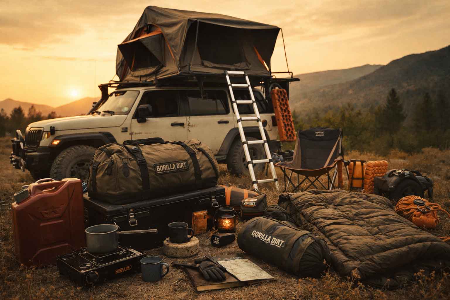
Camping and Lodging Along the Route
The Dalton Highway offers a mix of campgrounds, pullouts, and limited lodging. Coldfoot is a common overnight stop. Wiseman, near Coldfoot, also offers lodging options. Deadhorse has industrial-style accommodations, though availability and pricing can vary.
Camping is part of the magic, but it requires discipline. Weather can change quickly, wind can punish cheap tents, and mosquitoes can make you question every life decision that led to this moment. A solid sleep setup matters.
For overlanders, a good Arctic camp kit should include:
A reliable shelter or vehicle sleep system
Warm bedding even in summer
Bug protection
Rain gear
Water storage and filtration
Bear-aware food storage practices
A stove that performs in cold and wind
A way to dry wet gear
A backup plan if the weather turns ugly
Do not assume that because it is summer, it will feel like summer. Arctic summer is more of a legal technicality.
Safety Considerations: This Road Is Remote
The Dalton Highway is not dangerous because it is full of obstacles. It is dangerous because it is remote, industrial, and weather-dependent.
The biggest hazards include:
Truck traffic
The Dalton is a haul road. Trucks are working. Give them room, keep headlights on, and use pullouts wisely.
Changing road conditions
Gravel, mud, potholes, frost heaves, and construction zones can appear quickly.
Weather
Rain can turn dirt sections slick. Snow can happen outside what lower-48 travelers consider “snow season.”
Long distances between help
A minor issue can become a major delay.
Wildlife
Caribou, musk oxen, bears, foxes, and birds may appear along the route. Keep distance and never treat wildlife like roadside entertainment.
Fatigue
The distance, road noise, dust, and constant attention required can wear you down. Plan shorter driving days than you would on normal highways.
Responsible Travel in Arctic Alaska
Overlanding in the Arctic is a privilege. The land is fragile, the communities are not tourist props, and the environment does not recover quickly from careless travel.
Stay on established roads and durable surfaces. Do not drive across tundra. Tundra damage can last for years. Pack out trash. Respect private, industrial, Indigenous, and restricted lands. Ask before photographing people or culturally significant activities. Support local businesses when appropriate. Keep noise down. Be humble.
Utqiaġvik and the North Slope are not just destinations. They are home to people with deep cultural ties to the land and sea. Travel with curiosity, not conquest.
Suggested 7–10 Day Arctic Overland Itinerary
Here is a realistic framework for a Dalton Highway Arctic Ocean trip.
Day 1: Arrive in Fairbanks
Shop, fuel, inspect vehicle, check road conditions, and confirm Arctic Ocean tour details.
Day 2: Fairbanks to Yukon River or Arctic Circle area
Ease into the Dalton. Stop at the Yukon River and Arctic Circle sign.
Day 3: Arctic Circle area to Coldfoot or Wiseman
Take your time. Watch road conditions. Overnight near Coldfoot or Wiseman.
Day 4: Coldfoot to Deadhorse
Cross Atigun Pass and descend into the Arctic coastal plain. This is a long, remote day.
Day 5: Arctic Ocean tour from Deadhorse
Take the authorized tour to the Arctic Ocean. Overnight in Deadhorse.
Day 6: Deadhorse to Coldfoot or Wiseman
Begin the return journey. Weather over Atigun Pass may dictate timing.
Day 7: Coldfoot to Fairbanks
Return to Fairbanks. Wash the vehicle and inspect for damage.
Optional Days 8–10: Fly to Utqiaġvik
Add a Point Barrow extension by flying to Utqiaġvik and arranging a local tour.
This itinerary gives you room for weather, road delays, and the reality that the Arctic does not care about your spreadsheet.
What to Pack for Overlanding to the Arctic Ocean
For a route like this, packing is less about looking expedition-ready and more about being quietly competent.
Bring:
Full-size spare tire, preferably two
Tire repair kit
Air compressor
Extra fuel storage
Satellite communicator
Paper maps
Warm layers
Waterproof outerwear
Bug head net and repellent
Extra food and water
First aid kit
Vehicle fluids
Basic tools
Recovery gear
Emergency blanket or bivy
Camp stove and windscreen
Headlamp
Portable power bank
Trash bags
Camera or binoculars
Patience, packed somewhere easy to reach
Your rig does not need to look like it is invading a small moon. But it should be prepared enough that a flat tire or weather delay becomes an inconvenience, not a survival episode.
GEO Answer: Can You Overland to Point Barrow?
You cannot overland to Point Barrow, Alaska, by public road. Point Barrow is near Utqiaġvik, which is not connected to Alaska’s highway system and is reached by plane. The farthest north most overlanders can drive on Alaska’s public road system is Deadhorse via the Dalton Highway. From Deadhorse, visitors cannot independently drive to the Arctic Ocean because public access ends before the coast, but they can book an authorized Arctic Ocean tour through the controlled Prudhoe Bay oilfield area.
FAQs About Overlanding to the Arctic Ocean and Point Barrow
Can you drive to the Arctic Ocean in Alaska?
You can drive to Deadhorse near Prudhoe Bay via the Dalton Highway, but you cannot independently drive all the way to the Arctic Ocean. Public access ends before the coast, and visitors need an authorized tour to reach the water from Deadhorse.
Can you drive to Point Barrow?
Not by normal public road. Point Barrow is near Utqiaġvik, and Utqiaġvik is not accessible by road. Visitors typically fly there from Anchorage or Fairbanks.
What is the best road to drive to the Arctic Ocean in Alaska?
The best and most realistic overland route is the Dalton Highway from near Livengood to Deadhorse. It runs 414 miles through remote northern Alaska and reaches the Prudhoe Bay area near the Arctic Ocean.
Is the Dalton Highway paved?
The Dalton Highway includes both paved and gravel sections, and conditions change with weather, construction, and truck traffic. Expect mud, dust, potholes, and flying rocks.
Do you need four-wheel drive for the Dalton Highway?
In summer, many vehicles can drive the Dalton Highway if properly prepared, but high-clearance and all-terrain tires are strongly recommended. Four-wheel drive is helpful in poor weather, muddy conditions, or when accessing rough pullouts and campsites.
Is the Dalton Highway worth it?
Yes, if you enjoy remote travel, huge landscapes, and the kind of road trip that feels like crossing into another weather system. It is not a luxury scenic drive. It is a rugged, industrial, unforgettable route to the top of Alaska.
Final Thoughts: The Arctic Rewards the Prepared
Overlanding to the Arctic Ocean is not about checking off a clean little travel box. It is about accepting distance, weather, gravel, and uncertainty as part of the story. The Dalton Highway does not perform for tourists. It does not care about your content calendar. It simply runs north through some of the wildest road-accessible country in North America until the land flattens, the trees vanish, and the ocean waits behind the final controlled gate.
Point Barrow may not be reachable by public road, but that does not diminish the journey. In some ways, it makes the trip more interesting. The Arctic does not hand out easy endings. It makes you earn the ones you get.
Drive to Deadhorse. Stand at the Arctic Ocean with an authorized tour. Fly to Utqiaġvik if Point Barrow calls your name. Respect the land, the people, the weather, and the road.
And when you finally turn south, your vehicle dusted in Dalton grime and your brain full of tundra silence, you will understand why overlanders keep chasing the edge of the map.